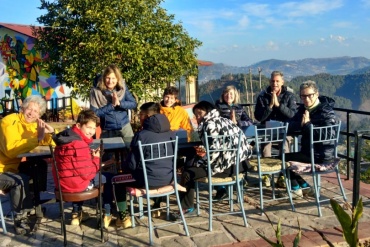
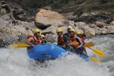
Discover the perfect family-friendly vacation in Nepal, where comfort and safety are paramount. Nepal offers a diverse range of experiences suitable for all ages, from exploring ancient temples and cultural landmarks in Kathmandu to enjoying scenic mountain views in Pokhara. Families can embark on gentle hikes through the serene landscapes of the Annapurna region or take a relaxing boat ride on Phewa Lake. Chitwan National Park provides exciting wildlife safaris, offering a chance to spot rhinos, elephants, and exotic birds in their natural habitat. Comfortable accommodations and family-oriented services ensure a hassle-free experience. Professional guides and support staff are dedicated to ensuring your family’s safety and comfort throughout the journey. Embrace the warmth of Nepalese hospitality and create unforgettable memories with your loved ones in this enchanting destination.
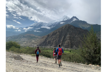
Lower Mustang: Light Family Hike

Stories of Nepal's Artisans for Family Trip

Family Safari: Tracking Bengal Tiger in Nepal
Family Adventure With Cultural Tour