English
 Italian
 German
 French

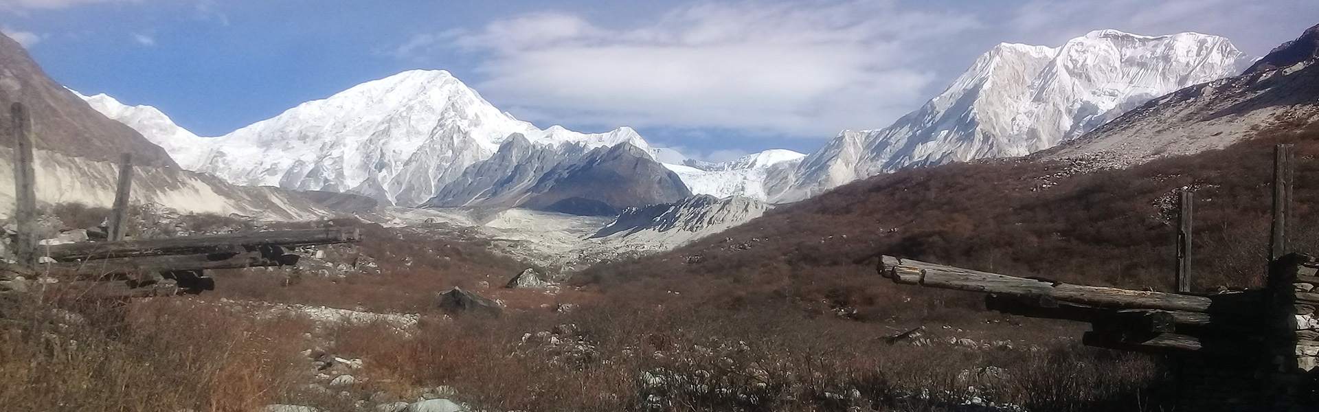
Manaslu Circuit Trek
Ideal for explorers seeking paradise and an authentic natural experience, the Manaslu Circuit Trek promises an unforgettable journey through some of Nepal's most remote and pristine locations.
Highlights
-
Very Hard
-
17 Nights/18 Days
-
April to May / October to November
-
Tea House Accommodation & Hotel in Kathmandu
-
Off-beaten trip
-
Trek
Outline Itinerary
-
Day 1 Kathmandu Arrival (1400m/4600ft) approx. 30 minutes' drive.
-
Day 2 Preparation Day: Short excursion at UNESCO Heritage Sites (B)
-
Day 3 Drive from Kathmandu to Sotikhola (710m/2328 ft) approx. 138kms: 8 - 9 hours (B, L, D)
-
Day 4 Trek from Sotikhola to Machha Khola (900m/2952ft) approx. 14kms: 6 - 7 hours (B, L, D)
-
Day 5 Trek from Maccha Khola to Jagat (1410m/4625ft) approx. 17kms : 6 - 7 hours (B, L, D)
-
Day 6 Trek from Jagat to Deng (1,804m/5917 ft) approx. 16kms : 6 - 7 hrs (B,L,D)
-
Day 7 Trek from Deng to Namrung (2630m/8626ft) approx. 17kms: 6 - 7 hrs (B, L, D)
-
Day 8 Trek from Namrung to Samagaon (3530m/11,578 ft) approx. 17kms: 6-7 hours (B, L, D)
-
Day 9 Trek from Samagaon to Pungyen gompa then return back to Samagaon approx. 16kms: 6 - 7 hours exploration (B, L, D)
-
Day 10 Trek from Samagaon to Samdo (3860m/12,660ft) approx. 14kms: 4 - 5 hours (B, L, D)
-
Day 11 Rest Day in Samdo (B, L, D)
-
Day 12 Trek from Samdo to Dharamsala/Larkya B. C. (4460m/14, 628ft) approx. 11kms: 4 - 5 hours (B, L, D)
-
Day 13 Trek from Dharamsala to Bimthang (3720m/12, 201ft) via Larkya la (5160m/16, 924ft) approx. 19kms: 8 - 9 hours (B, L, D)
-
Day 14 Trek from Bimthang to Tilije (2300m/7544ft) approx. 16kms: 5 - 6 hours (B, L, D)
-
Day 15 Trek from Tilije to Tal (1700m/5576ft) approx. 12kms: 5 - 6 hours (B, L, D)
-
Day 16 Trek from Tal to Chamje (1410m/ 4626ft) approx. 9kms:3-4 hours and drive Besisahar approx. 38kms: 4 hours drive (B, L, D)
-
Day 17 Drive from Besisahar to Kathmandu approx. 176kms: 6-7 hours (B, L)
-
Day 18 Departure (B)
Includes
Cost Includes:
1 Transport in a private vehicle with a/c
• Airport transfers
• One full day sightseeing in Kathmandu
• Kathmandu to Sotikhola in private jeep
• Besisahar- Pokhara in private jeep
2 Accommodations:
• Kathmandu (3Ns):
• Tea House Accommodation during trekking (14Ns)
3 Meals:
• All breakfasts
• Lunch: all lunches during trekking
• Dinner: all dinners during trekking
4 Trekking Package:
• Tea House Accommodations, English Speaking License Holder Guide and all his expenses, all meals during trekking
5 Taxes and Permits:
• All the applicable service charges, government taxes, ACAP, MCAP, and Restricted Area permits to the Manaslu Region
Excludes
Cost Excludes :
1. International Airfare, Nepal VISA Fees ($50 per person), Excess baggage charge on Domestic flights, Travel Insurance
2. Sightseeing not listed in the itinerary
3. Cost of porter: who can carry a maximum of 20kg of luggage
4. Meals not listed in the itinerary
5. Gratuities, tips to guides, drivers, bellboys, etc
6. Personal expenses such as laundry, drink, fax, telephone calls, optional activities, etc
7. Payment Transfer Charge
8. Hotels check out as per the hotel rules.
9. Any extra expenses incurred from flight cancellation or delay, sudden price escalations in hotels, transport, flight or any other items, any form of rescue
Detail Itinerary
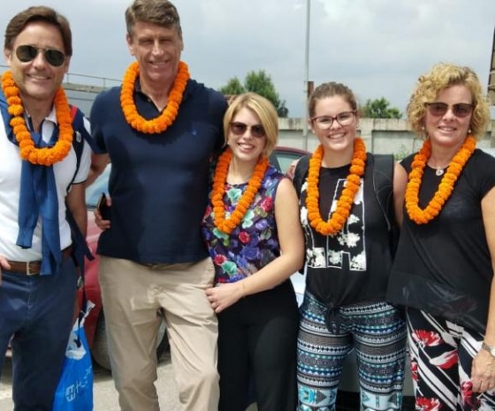
Upon your arrival at Tribhuvan International Airport in Kathmandu, one of our representatives from Aarya Village Travel shall meet, assist and transfer you to your hotel. You will enjoy welcome drinks while you will be briefed about your Nepal Manaslu Circuit Trek Itinerary. The rest of the day will be at your leisure.
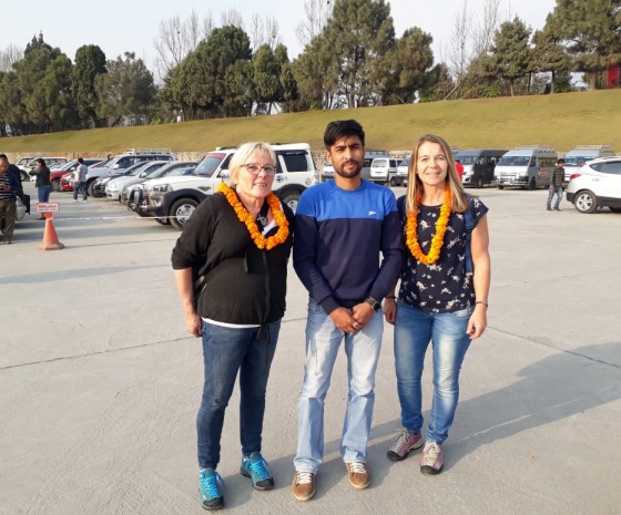
Today you will have a preparation day to arrange all the trekking gear/equipment and permits (restricted area permit, ACAP & TIMs card)
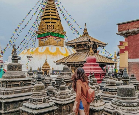
There will also be time for sightseeing at Swayambhunath- A Monkey Temple from where you can see the magnificent views of Kathmandu Valley. The stupa, a tribute to Buddhism, consists of a dome at the base representing the entire world. Painted eyes of Buddha represent wisdom and compassion. A curly symbol, symbolizing the nose represents the unity of all things existing in the world. Prayer wheels surround the whole dome. The evening views of Kathmandu valley and sunset from the hilltop will be a memorable experience for you.
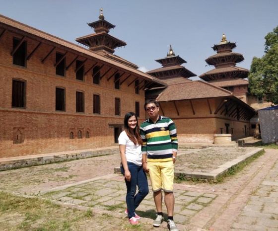
We then head to Patan Durbar Square. This will be a very unique experience for visitors as they witness a distinct place for arts and architecture that is reflected on each temple, monument and palace building that were mostly built during the Malla period between the 16th to 18th centuries.
We will explore its unique Durbar Squares. In every corner & alley of Patan you can see Thangka painters, filling color to ancient Gods and Goddess on canvases, fine metal shops that offer Buddha's exotic, handmade brass sculpture at very reasonable prices. You can taste local cuisine as well in Patan's alleys
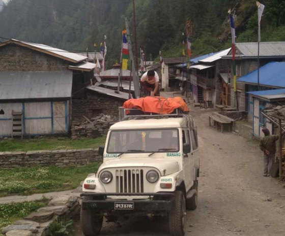
Manaslu Circuit Trek starts by having breakfast and driving to Sotikhola. During the drive, you can enjoy views of the Nepalese countryside along with the mountain scenery. We will be driving on a paved road from Kathmandu to Dhading Besi, district headquarters of Dhading (1050m)but the drive from Dhading Besi to Arughat will be on a rough road. Upon reaching Arughat, a major town in the region we drive further towards Sotikhola. Overnight in Soti Khola
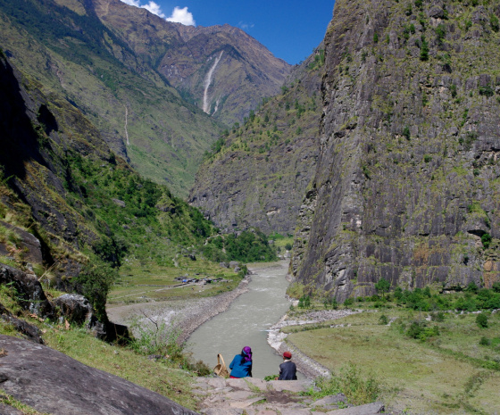
Today we start your Trek to Manaslu by trekking to Machha Khola. Trekking through beautiful Sal forests we hike on a ridge above huge rapids of the Budhi Gandaki River. After Khursane the trail is a bit rocky with ups and downs with beautiful waterfalls along the way.
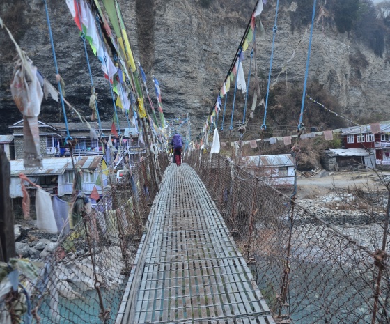
We then make our way through terraced rice fields on the way to the Gurung village of Labubesi. After climbing a rocky outcrop the valley opens up as the Budhi Gandaki meanders on a wide path. We head down to the sandy river bed covered with rounded stones and then climb over to a side ridge. Again we descend to the river and cross a suspension bridge to reach Machha Khola Village. Overnight in Machha Khola
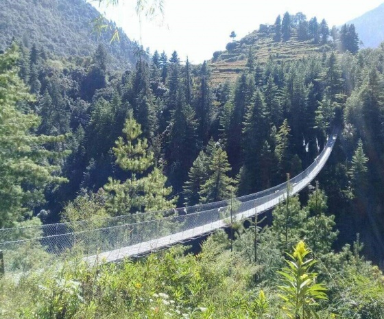
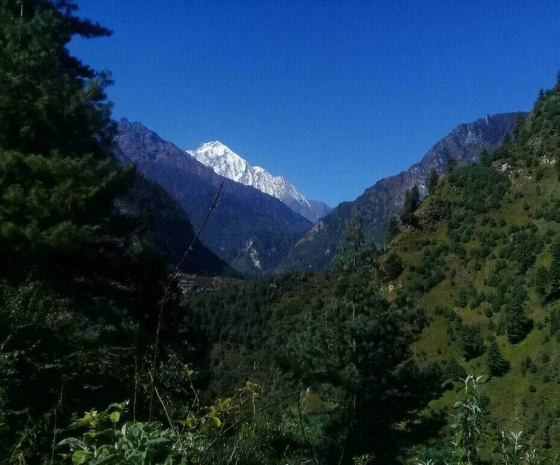
The trail, with some minor accents and descents eventually crosses the Tharo Knola to reach Khorlabesi. Ahead we reach the hot-springs of Tatopani. We then climb a ridge and then cross the Budhi Gandaki again on another suspension bridge. From here we ascend a wide, well-crafted staircase of stone. There is a portion where you cross a landslide area and over the ridge to Dobhan
We cross yet another picturesque suspension bridge at Yaru Knola (River), after climbing more stairs we drop down to the river and ascend once again to Tharo Bharyan (Upright Stairs).
We climb over a ridge, trek along the river and then climb towards the village of Jagat after crossing the west bank of the Budhi Gandaki, Overnight in Jagat
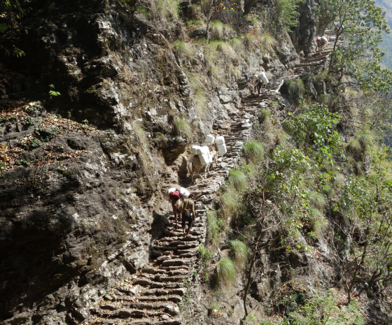
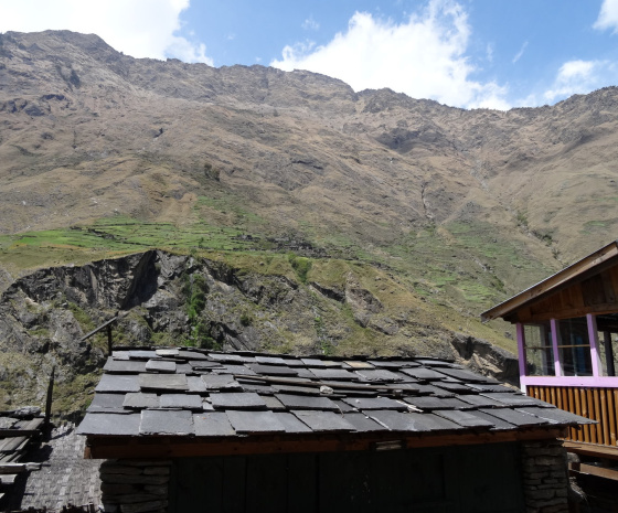
Today's trail leads us over rocky ridges to Salleri and descends to Sirdibas. As the trail continues the valley broadens up to Ghatta Khola. We walk upstream following the river, and yes, we cross another suspension bridge in Philim, a scenic Gurung Village. Just above the lowest house in the village the trail turns North staying fairly level crossing millet fields to Ekle Bhatti.
We also pass an isolated gorge along the way then descend grassy slopes crossing the River multiple times and walk along its banks for a while. Again the valley widens as we pass through bamboo forests on the way to Deng Khola. Once we cross Deng Khola we reach the tiny village of Deng where we will spend the night.
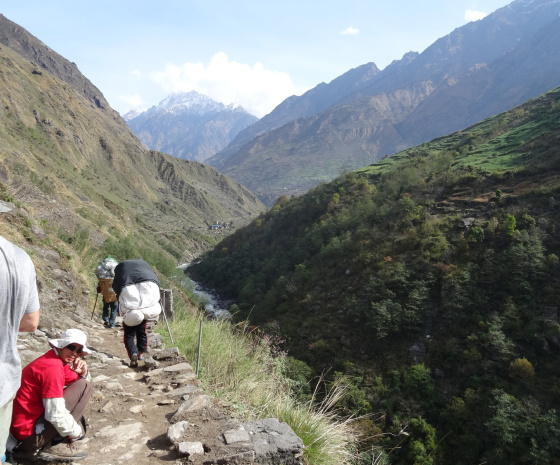
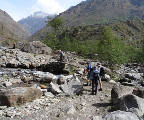
A bit of a walk from Deng we cross the river and climb to Rana at 1910m. After we cross the bridge we climb for some time and join a trail from Bhi. We then head westwards up to Budhi Gandaki Valley. Passing forests we turn towards a corner that contours Ghap. Although there is another route we chose this route as it passes through the Village of Prok which boasts a viewpoint for Siringi Himal. Again today we cross the Budhi Gandaki several times. We also pass a few Gompas (monasteries) en route. We follow the river upstream through dense forests, the river then thunders down a narrow gorge, the forest now is sparse as this pleasant walk continues to Namrung after a steep ascent. We spend the night at Namrung.
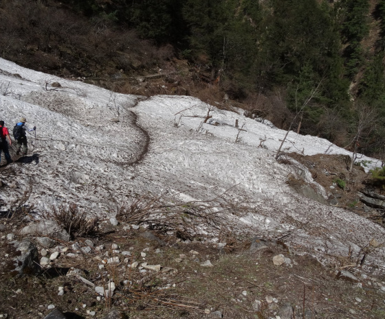
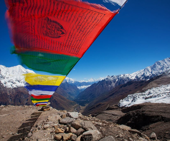
From Namrung viewpoint you can see Siring and Ganesh Hima, you can also see Mt. Himalchuli from the village. Steadily climbing through forests we reach Lihi, a beautiful village with many chortens and barley terraces. We descend and cross the valley of Simnang Himal with Ganesh Himal nearby. We further pass through Sho, Lho and Shyala villages before reaching Sama Village. We enjoy extraordinary views of Mt. Manaslu from Lho village and also explore the famous Ribung Gompa. In Shyala village we will be surrounded by high mountains like Himal Chuli and Peak 29 (Ngadi Chuli) to the left, Manaslu and large glaciers straight ahead, and other snow summits to the right, and at the far end stands Ganesh Himal. Today's journey ends in Samagaon where we spend the night. This is the highlight of our Manaslu Circuit Trek in Nepal.
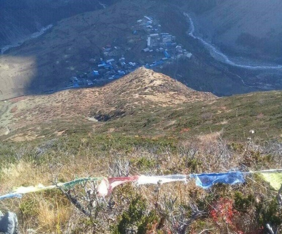
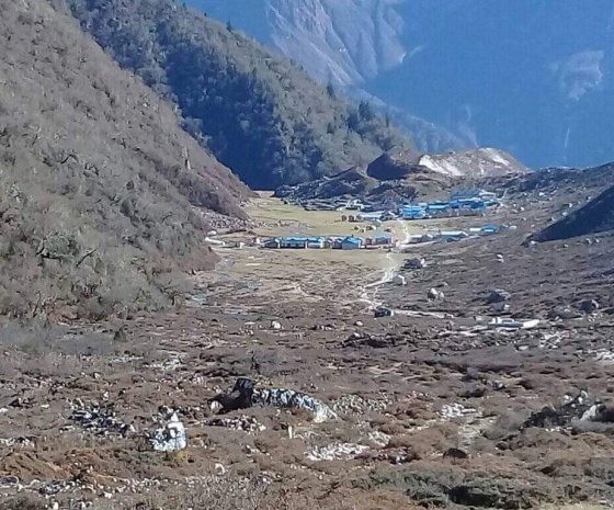
Spending a day at Samagaon, we get much needed rest and acclimatization, whilst we acquaint ourselves with the rich Sherpa culture. There are thousands of mani stones inscribed with Buddhist texts and pictures. Here the Sherpa women adorn themselves with traditional attire and ornaments. At the Sama Village, on a little hill, is an old Monastery - Pungyen Gompa, from here you can view the great glacier. It is named after Manaslu, Pungyen means bracelet.
Overnight at Samagaon
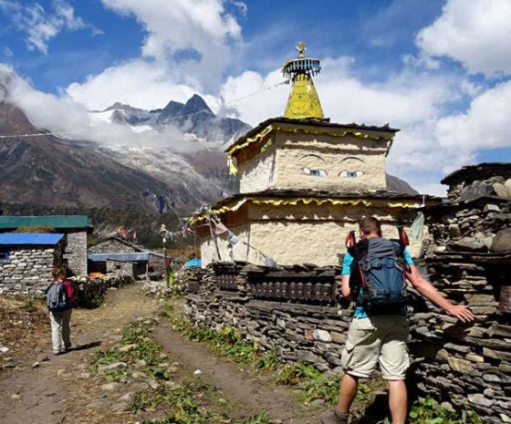
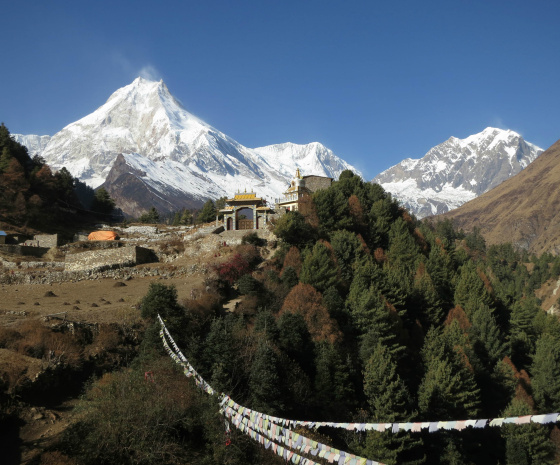
The Budhi Gandaki river now turns north as we descend and follow it to a bridge over a side stream.
The trail to the left leads to the Manaslu Base camp. The Larkya la Trail passes several mani walls as the valley begins to widen. Today we pass the juniper and birch forests of Kermo Kharka. We drop off the shelf, cross the Budhi Gandaki on a wooden bridge and climb up onto an outcrop between two forks of the river. Finally passing through the kani we find Samdo.
Overnight in Samdo.
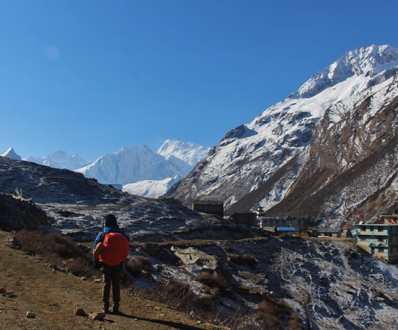
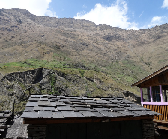
A day of rest and required acclimatization for Trek to Manaslu. Today you can choose from two activities.
1. Hike up to Samdo Village which is highly recommended. This is a trade pass to Tibet with views of Mt. Manaslu, Simrang, Hiunchuli, Ngadi, Larkya Peak, Cheo and possibly Kang Guru behind the pass. On the way you will pass seasonal herding settlements called Doksas and possibly see rare mountain birds such as the Lophophorus (the national bird of Nepal), Lammergeyer and Himalayan Griffin soaring high above us.
2. A rather longer trip, taking up the whole day to the Gya La ('large pass') to the north of Samdo, a more frequently used trading route to Tibet. This could be a little strenuous.
Overnight in Samdo
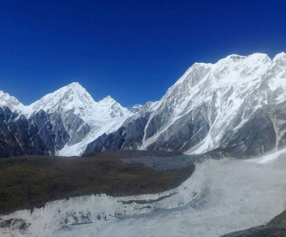
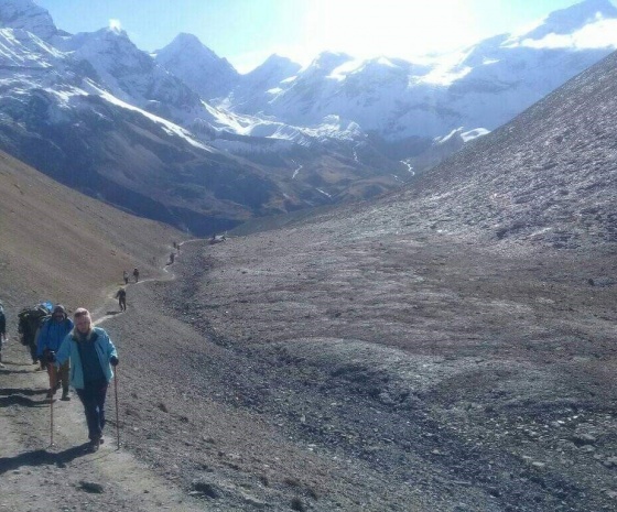
Today we cross over a wooden bridge and over two streams where we can see the Larkya Glacier from where we go around the Salka Khola Valley and climb up to a stone guest house at 4450m. This guest house is called Dharamshala, also known as Larke Phedi. The hike today is short and leaves you with time to acclimatize and relax in the afternoon. We spend the night at Dharamshala.
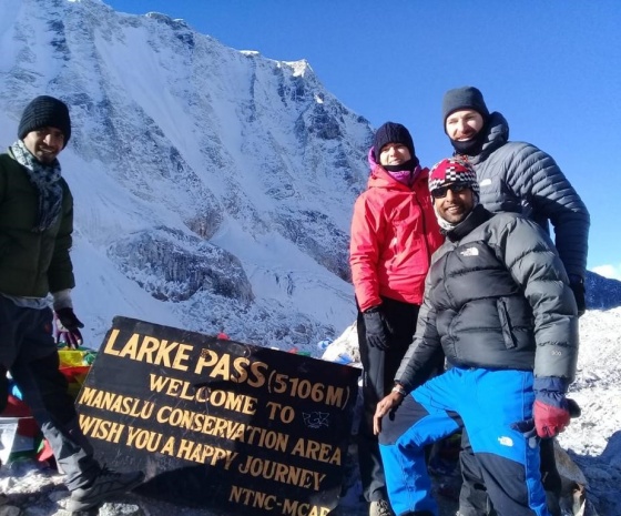
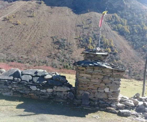
Today we start by heading to a valley on the north side of Larkya Glaciers where we can enjoy amazing views of Cho Danda and Larkya Peak.
Passing across a moraine of the glacier, we make a gradual ascent which slowly gets steep at the last section of the pass. From here, there are outstanding views of Himlung Himal, Cheo Himal, Kangguru and the huge Annapurna II. Walking into low pastures with Mt. Manaslu looming over makes this long walk an exciting experience. We spend the night at Bimthang.
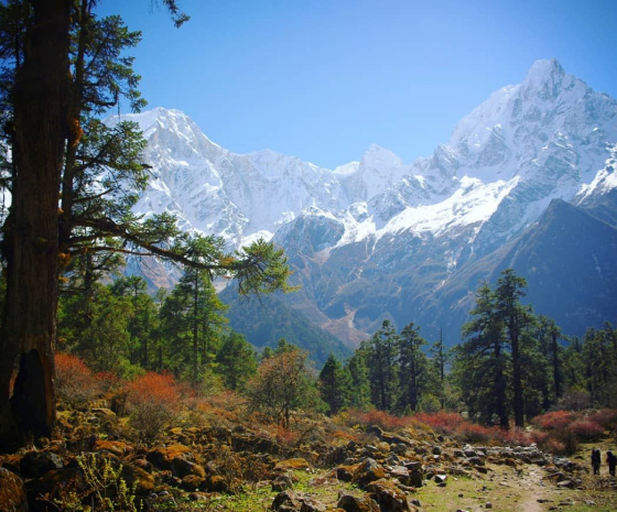
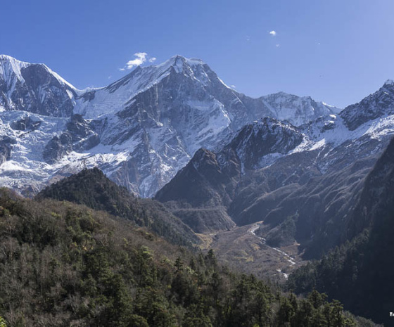
From Bimthang, we can enjoy amazing views of Mt. Manaslu, Lamjung Himal, Himlung Himal and Cheo Himal. We descend further and cross high pastures (Sangure Kharka) then we cross a bridge over Dudh Khola.
Our trail through rhododendron forests passes through a narrow valley where we see cultivation at such high altitudes in the valley at Karche at 2785m above sea level.
Passing fields we make a steep climb over a ridge then to the river bank at 2580m heading to the village of Gho. We then reach the river at 2580m. A short distance later we reach Gho. We could rest here but since there are better choices of accommodation at Tilije Village, we will head there to spend the night
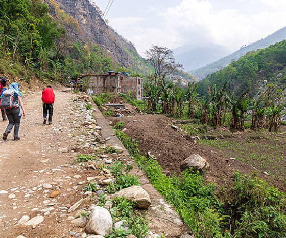
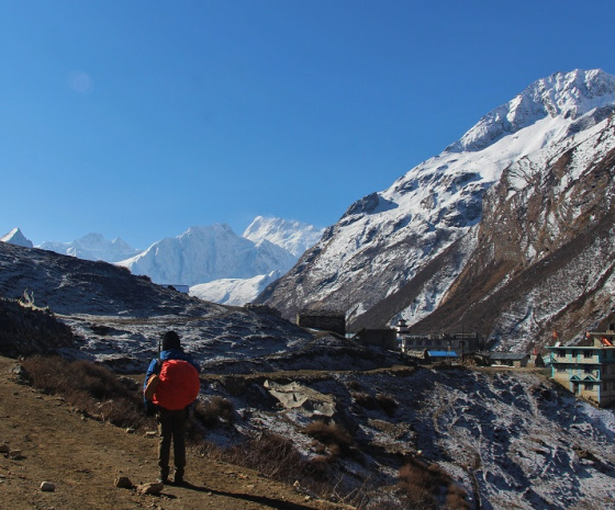
After climbing a small ridge then over stone paved trails we pass through a beautiful village. After crossing the bridge at Dudh Khola we climb up through a chorten-shaped arch passing mani inscriptions on walls to reach the village of Thonje. Here there is a police checkpoint which we pass through and continue to Dharapani where we enter the Annapurna Circuit section from Dharapani.
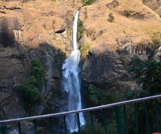
Our descent takes us to Karte Village after crossing the bridge over Marshyangdi Khola. Here again we see many Mani walls before reaching the Village of Tal situated beneath a large waterfall. This is where we spend the night.
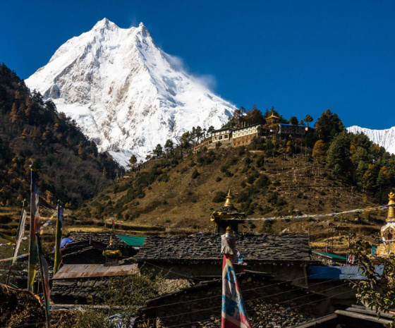
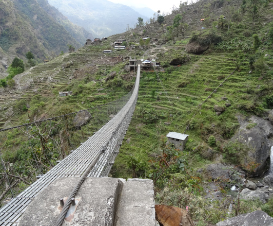
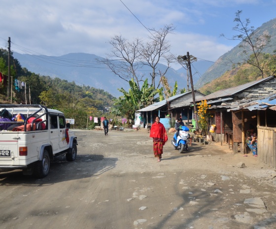
Drive to Besisahar in a shared jeep via Chyamje village, Syange and finally reach Besisahar after 4 hours off road drive by Jeep. Enjoy the hill and mountain scenery here at Besisahar.
Overnight at Besisahar.
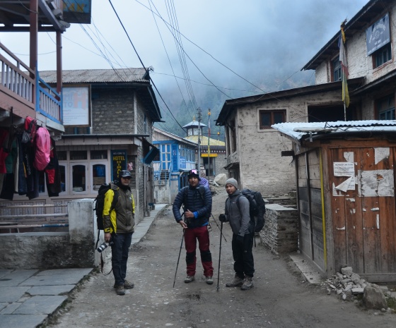
Driving along the banks of the Marsuangdi and Trishuli rivers we will pass beautiful villages and farm land on both sides of the road. The drive to Kathmandu takes 6-7 hours approximately depending on traffic. We check into our hotel for some rest and relaxation. Thus we conclude your memorable Manaslu Circuit Trek in Nepal.
Approximately 3 hours before your scheduled flight a representative from Aarya Village Travel will transfer you to the airport for your onward journey.
FAQs
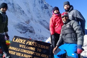
Larkya La Pass itself peaks at 5,106m, making it one of the highest passes on any regularly trekking circuit in Nepal, and it's one of the highest climbs you'll find anywhere on this route. Some itineraries include a side-trip to Manaslu Base Camp (around 4,800m) as an acclimatization day before crossing the pass.
The three layer system is still a good approach, but you have less leeway than on Annapurna or Mardi Himal. A base (moisture-wicking thermal) layer will keep sweat off your skin to avoid cooling down too quickly on the long (8-11 hour) Larkya La crossing day. A mid (fleece or down) layer will help you deal with the temperature swing between the valley villages and the high camps near Dharamsala. An outer (waterproof and windproof) layer is a must at the pass itself where the wind coming down the Tibetan plateau makes the actual temperature feel much colder than it appears on your thermometer.
Alongside the usual trekking kit such as broken-in trekking boots, poles, headlamp, UV sunglasses, gloves, a warm hat, and a 30 to 40L daypack, you'll want a sleeping bag that can rate to at least -20°C rather than the -15°C that you'd get away with on lower altitude routes. Microspikes are worth investing in for the shoulder seasons when Larkya La can be snowy and icy. This is also a more remote trail with fewer teahouses, so make sure you have more of your own snacks with you and a fully charged power bank (charging points become much sparser from Samagaun onwards).
Take it more seriously than you would on an Annapurna Base Camp or Mardi Himal trek. At 5,106m, you're well within the range of Acute Mountain Sickness becoming a real issue, and the area is much more remote and isolated with few people on the trail. Allow for the acclimatization days most itineraries already include around Samagaun and Samdo, and remember to descend (rather than climb further towards the pass) if your symptoms are worsening, not just persistent.
The same things would be in a trekker's pharmacy on any high-altitude trek: pain killers, fever reducers, rehydration salts, anti-diarrheal, blister care, antiseptic and plasters, personal prescription medication (in carry-on luggage), and water purification tablets as a backup. Because of the altitude and remoteness, it's worth having a chat with your doctor about Diamox before you head off on this trek, rather than waiting until it's on the trail, as your options are significantly more limited beyond Samagaun.
This trekking route requires significantly more paperwork than Annapurna or Mardi Himal. You'll need a Manaslu Restricted Area Permit (RAP) and a Manaslu Conservation Area Permit (MCAP), an Annapurna Conservation Area Permit (ACAP) for the exit through Dharapani, and a Chhumnubri Rural Municipality fee. As of March 2026, solo trekkers can apply for the RAP on an individual basis (without having a second person in their group) but a licensed guide is still a requirement since it's a restricted area, and independent trekking is an impossible task here. All of this needs to be arranged through a registered trekking agency in advance.
Treat it as an absolute must, not a luxury, and make sure you know what level of coverage you have. Your policy should cover trekking up to at least 6,000m (seeing as how close Larkya La is to 5,200m) and should include helicopter evacuation. This is especially important here than on an Annapurna or Mardi Himal trek, because the Manaslu region has significantly fewer landing points and there's a longer chain of command for any rescue operation, so things will always be more stretched out in the event of an emergency in this remote, restricted area.